What we do
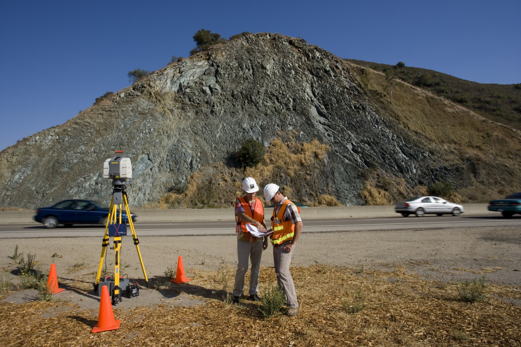
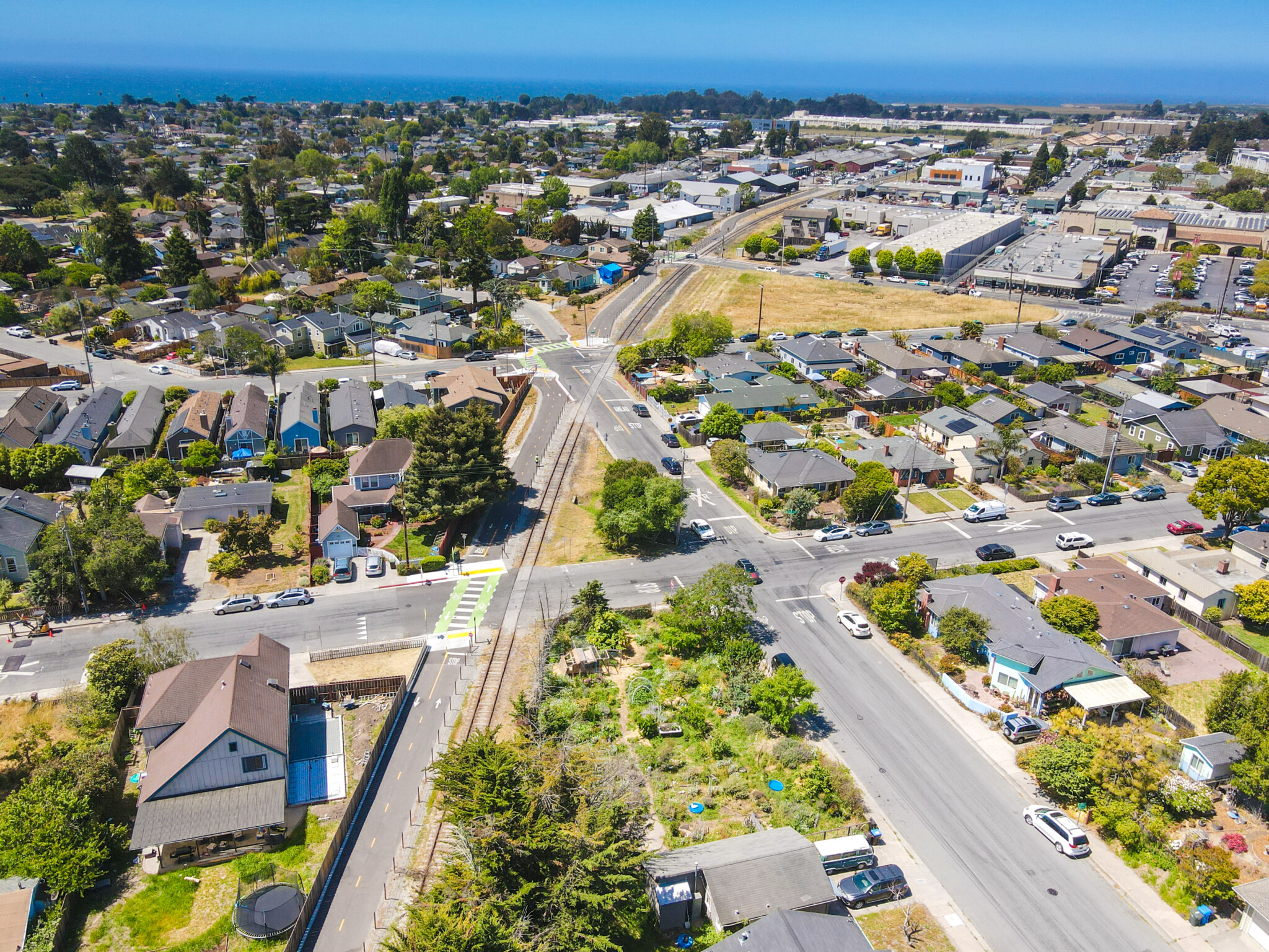
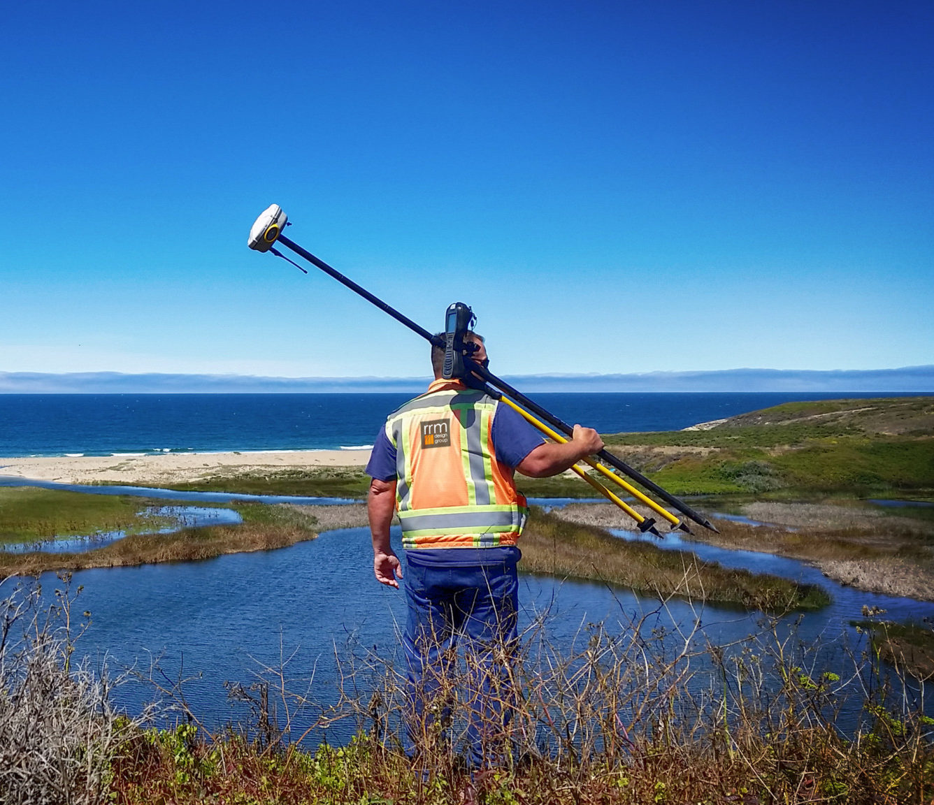
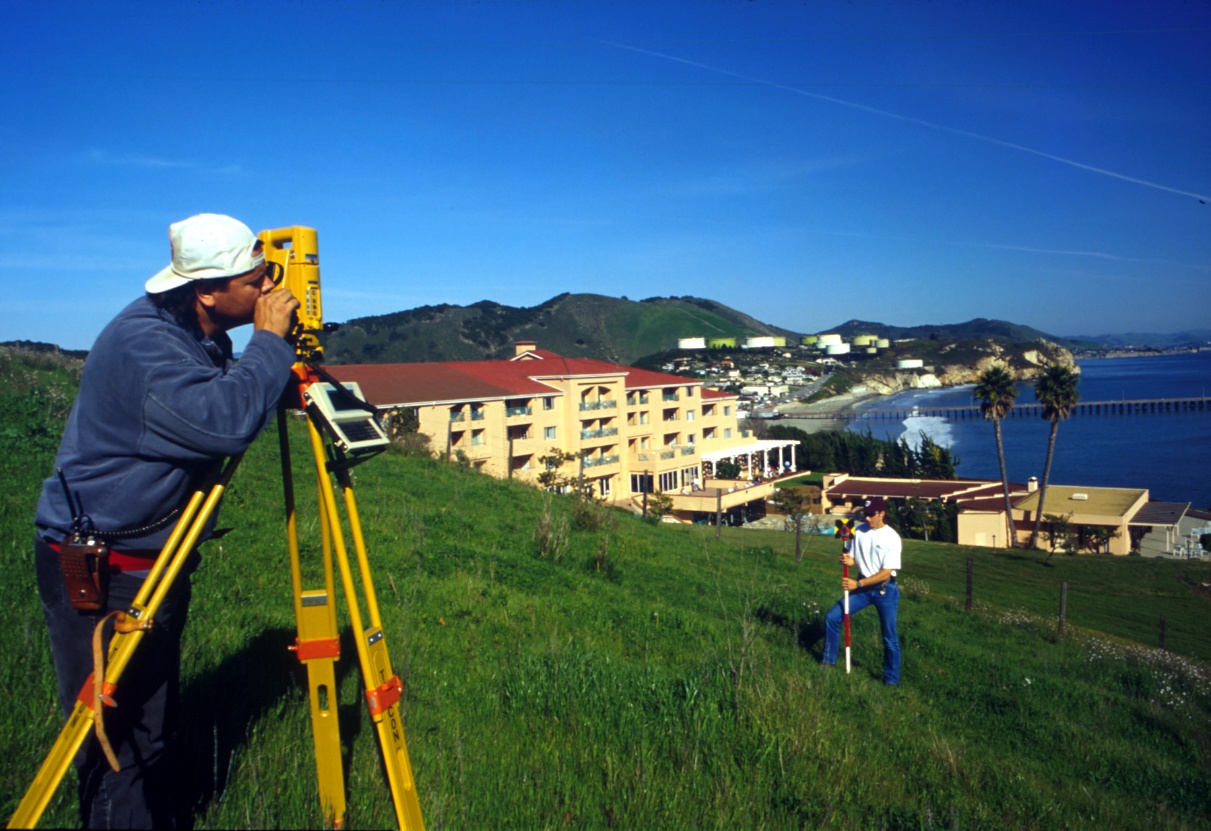
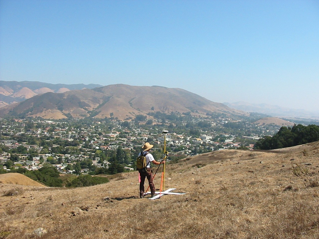
RRM Design Group has been supplying land surveying services to the public and private sectors throughout California for over 25 years. Our talented staff are well-suited to provide construction staking, topographic mapping, tentative and final maps, control surveying, boundary surveys, as well as hydrographic and high definition laser scanning. We have a broad range of experience ranging from small residential lots to complex large-scale developments. Our land surveyors pride themselves with their integrity and willingness to be an integral part of your project providing unique solutions to potential challenges.
- Geodetic Control
- Construction Staking
- Boundary Surveying
- Topographic Mapping
- American Land and Title Association Surveys (ALTA)
- Aerial Mapping and Control
- Settlement Monitoring
- High Definition Laser Scanning
- Certificate of Compliance
- Geodetic Control
- Construction Staking
- Boundary Surveying
- Topographic Mapping
- American Land and Title Association Surveys (ALTA)
- Aerial Mapping and Control
- Settlement Monitoring
- High Definition Laser Scanning
- Certificate of Compliance
- Legal Descriptions
- Tract and Parcel Maps
- Lot Line Adjustments
- Easements
- Hydrographic Surveying
- DOGGR Certifications
- Right of Way Surveys
- FEMA Flood Certifications
- FEMA LOMA/LOMR
- ADA Surveying
- Legal Descriptions
- Tract and Parcel Maps
- Lot Line Adjustments
- Easements
- Hydrographic Surveying
- DOGGR Certifications
- Right of Way Surveys
- FEMA Flood Certifications
- FEMA LOMA/LOMR
- ADA Surveying
Surveying Leadership
RRM’s Civil Engineering group is led by Principals Tim Walters and Robert Camacho, and Managers Steve Webster and Brian Hellwig.
Step Into The World of RRM Surveying: Our Projects and Our People
